Aankondigingen over uw buurt
Zoals bouwplannen en verkeersmaatregelen.
Open data van de Overheid
Zoals bouwplannen en verkeersmaatregelen.
Adressen en contactpersonen van overheidsorganisaties.
Dataset
| Status | Beschikbaar |
|---|---|
| Data eigenaar | Wageningen UR |
| Bijgewerkt | 27-03-2024 |
| Licentie | Onbekende licentie |
| Thema |
|
| Toegang | Beperkt |
| Metadata | Download (XML/RDF) |
U kunt bij ons een verzoek doen om een specifieke dataset aan te vragen.
Dataverzoek doenCORINE Land Cover 2006 database of the Netherlands. An increasing need for factual and quantitative information on the state of the environment of DG Environment, DG Agriculture and other users initiated a proposal of the EEA to collaborate with the European Space Agency (ESA) and the European Commission (EC) on the implementation of a fast track service on land monitoring. The project focused on timely, quality assured data, in particular in land cover and land use related issues for 2006-2008. The CLC2006 project is part of the GMES Fast Track Service Precursor (FTSP) Land Monitoring. In CLC2006 38 countries with total area of 5.8 Mkm2 are participating (32 EEA member states and 6 collaborating countries).
Bestemmingspagina: http://www.geodata.alterra.nl/portalen/datadocs/CLC2006_report_alterra_final.doc
Geen feedback gevonden.
U kunt bij ons een verzoek doen om een specifieke dataset aan te vragen.
Dataverzoek doenDit is een grafische representatie van de dataset die via het NationaalGeoregister.nl aangeboden wordt.
Het is mogelijk dat deze grafische representatie geen weerspiegeling van de data is, maar dient als ondersteunende afbeelding. Indien de dataset via een OGC:WMS service aangeboden wordt, is het mogelijk om zelf een grafische weergave van de dataset te genereren.
Bron: https://www.nationaalgeoregister.nl/geonetwork/srv/api/records/4b123d9b-338f-4ebe-9519-33b311f4dbca/attachments/clc2006.png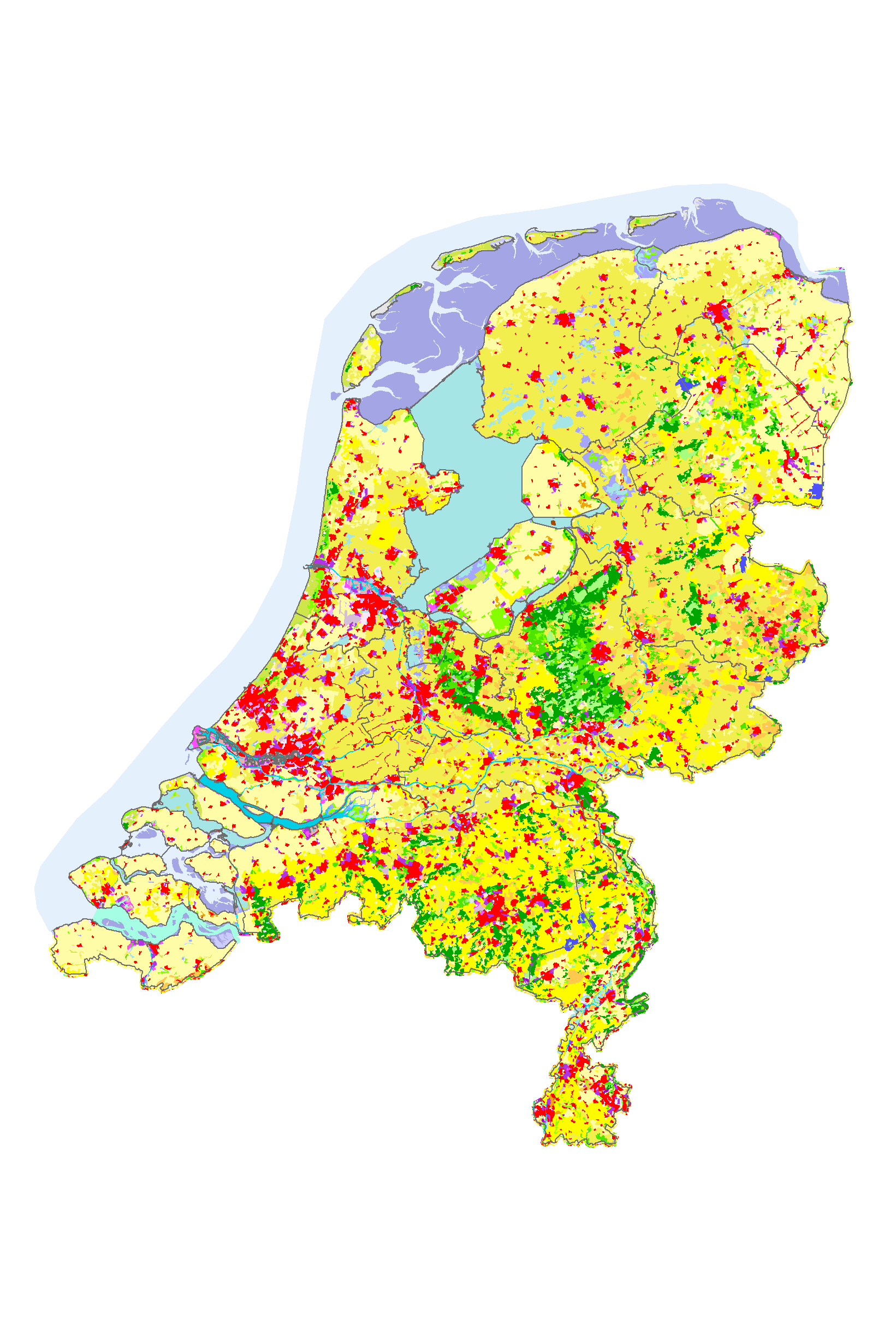
Geen feedback gevonden.